
Carpio: ‘Forgotten’ 1875 map backs PH vs China sea claim
Former Justice Antonio Carpio highlights a 'forgotten' 1875 Spanish colonial map, later adopted by the US, that unequivocally shows Panatag (Scarborough) Shoal and the Kalayaan Group of Islands as Philippine territory, bolstering the country's maritime claims against China.
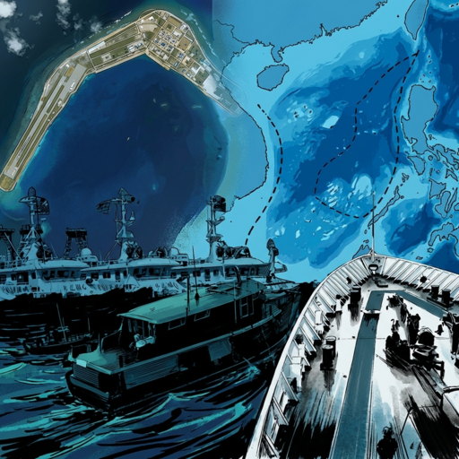
Former Supreme Court Justice Antonio Carpio presented a 'forgotten' 1875 Spanish colonial map titled 'Carta General del Archipielago Filipino' as crucial evidence supporting the Philippines' maritime claims against China in the West Philippine Sea. The map, which Carpio donated to the National Library of the Philippines during a turnover ceremony, explicitly shows Panatag Shoal (Scarborough Shoal) and the Kalayaan Group of Islands (Spratlys) as part of Spanish Philippines territory. This map predates China's historical rights claims by over 70 years and aligns with the 1898 Treaty of Paris, 1900 Treaty of Washington, and 1930 US-UK Treaty, which China has acknowledged in legal proceedings like the 2016 arbitral tribunal.
The 1875 map is described as the 'most complete' pre-1898 depiction of Philippine territory and serves as an official Spanish and American recognition of Philippine territory encompassing these disputed areas. Carpio has emphasized that this map fills gaps in the Treaty of Paris, which omitted some islands but included them according to this historical document. The map's significance lies in its explicit inclusion of Panatag Shoal and the Kalayaan Group, directly countering China's 'nine-dash line' claims by demonstrating long-standing Philippine sovereignty under Spanish colonial rule.
Carpio has been actively using historical maps in his advocacy, including the 1734 Murillo Velarde map in prior arguments. The 1875 map builds on this historical evidence by providing additional documentation that predates China's 1948 'Location Map of the South Sea Islands' by over seven decades. In recent presentations, such as the launch of 'The Murillo Bulletin Basilan' in Zamboanga City in early 2026, Carpio highlighted 'critical flaws' in China's claims using this and related maps.
This evidence reinforces the 2016 Hague tribunal ruling that invalidated China's broad historic claims under the United Nations Convention on the Law of the Sea (UNCLOS). The map's historical significance is further supported by its citation in the 1928 Island of Palmas case as an official Spanish and American recognition of Philippine territory. Carpio's ongoing advocacy with these historical documents continues to bolster the Philippines' legal position in the West Philippine Sea dispute, providing tangible evidence that predates and contradicts China's territorial claims in the region.


Join the discussion
What do you think? Drop your thoughts below.