Marcos: All Kalayaan Island Group features must have Filipino names
President Ferdinand Marcos Jr. has ordered the adoption of Philippine names for all 131 maritime features in the Kalayaan Island Group (KIG) within the West Philippine Sea (WPS). This directive aims to reinforce the Philippines' sovereignty in the disputed area. KIG lies on the western section of the contested Spratly Islands in the South China Sea, and this move is a strong assertion of national territorial rights.
President Ferdinand Marcos Jr. signed Executive Order No. 111 on March 26, 2026, mandating the adoption of Filipino names for all 131 maritime features in the Kalayaan Island Group (KIG) within the West Philippine Sea. The order was publicly disclosed around March 31, 2026, following a recommendation from the National Maritime Council (NMC), which stated that standardized Philippine names are imperative for efficient administration and governance of the area and to exercise the country's sovereignty in the disputed waters. The NMC, established under Executive Order No. 57, emphasized the need for unified naming to improve administrative coordination and reinforce sovereignty claims.
The directive covers various maritime features including islets, sandbars, atolls, reefs, shoals, and sand cays in the KIG, which is part of the disputed Spratly Islands in the South China Sea. The order aligns with Republic Act No. 12064 (Philippine Maritime Zones Act), which designates the western maritime zones—including the Luzon Sea, Bajo de Masinloc (Scarborough Shoal), and KIG features—as the West Philippine Sea. All government agencies, including the Department of Education, Commission on Higher Education, TESDA, and state universities, must use these Filipino names in official documents, maps, research, textbooks, and training materials.

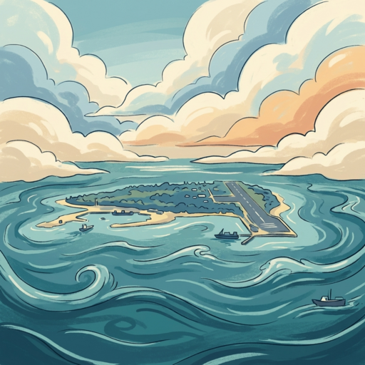
The National Mapping and Resource Information Authority (NAMRIA) will be responsible for updating official maps and charts with these names, though the specific list of 131 Filipino names has not yet been publicly disclosed. The Philippines occupies nine features in the Spratly Islands, including the largest, Pag-asa Island (internationally known as Thitu Island), which has a civilian population, school, airstrip, and port. This naming initiative builds on prior actions such as the 2012 naming of the West Philippine Sea under President Aquino.
The purpose of the order is to strengthen governance, sovereignty assertion, and compliance with the UN Convention on the Law of the Sea, while referencing the 2016 arbitral ruling against China's South China Sea claims. The Philippines bases its KIG claim on historical title, contiguity, the 1951 San Francisco Treaty rendering the area terra nullius, and Tomas Cloma's 1956 declaration. As of available reports, China has not commented on this latest move by the Philippine government.


Join the discussion
What do you think? Drop your thoughts below.